The Story of Hamilton Mountain: How Farm Fields Became Family Neighbourhoods
Before the bungalows and the side-splits, the Mountain was farm tableland looking down on a small industrial city. Its story explains why the Mountain looks, feels, and sells the way it does today.
By Tory Akene, REALTOR® | Real Broker Ontario Ltd. · · 7 min read
Before the bungalows and the side-splits, before the LINC and the shopping plazas, the Hamilton Mountain was a farm tableland looking down on a small industrial city. The escarpment kept it that way for generations, until a saddler, a mineral spring, and a post-war building boom changed everything. Today the Mountain is Hamilton's largest residential community, home to roughly one in four city households, and its history still shapes the streets, the housing stock, and the way buyers feel about the place.
A Wall of Rock That Built a City
The Mountain is the Niagara Escarpment, a 725 kilometre escarpment that curves from the Niagara River to the Bruce Peninsula, rising in Hamilton roughly 75 to 250 feet above the lower city. For more than a century that wall was the city's biggest barrier: people, goods, and commuters all had to climb it. Wherever the brow breaks, at the Jolley Cut, the Claremont, and the James Street and Kenilworth accesses, the city grew its gateways to the top, and neighbourhoods followed each route up the face.
James Jolley's Cut: The Road That Opened the Top
The cut that still carries his name was the work of one determined saddler. James Jolley arrived in Hamilton in the mid-1800s as a saddle and harness maker, and when his wife Sophia's health failed, a doctor prescribed mountain air. Jolley moved the family up the escarpment to a stone house he called Bellemont on the brow, then carved a route back down to his harness shop on John Street South. That rough road became the Jolley Cut, and it quietly opened the upper tableland to daily life. By the 1950s the cut still had no traffic lights, and its lower junction at Mountain Boulevard and John Street had become one of the city's great morning bottlenecks.
Source: The Hamilton Spectator, "Namesakes: Jolley Cut".
Concession Street: The First Neighbourhood on the Brow
The brow, the escarpment crest above downtown, was settled first. Concession Street started as a deer run and cow path and became a stoned toll road running along the top of the Mountain. From the 1840s, Black families, many arriving along the Underground Railroad, bought lots on the brow between Upper Wellington and points west, building lives as farmers, carters, and tradespeople. Fine estates followed, houses raised for the views and the cleaner air, and the street's own history project still documents the people who made it home. It remains one of the most historically layered addresses in the city.
Source: Concession Street BIA, "History of Our Street".
Sulphur Springs and the Mountain's Health-Seekers
Not all of the Mountain's early fame came from farming. In the deep valley where the escarpment meets the Dundas Valley, west of Sulphur Springs Road, mineral springs rise from deep bedrock, water so rich in sulphur that it carries the unmistakable smell. Indigenous peoples knew the springs long before the city did, and early settlers and health-seekers came for their reputed healing properties. A sulphur spring fountain survives at the site today, a quiet monument at one of the most interesting corners of the Mountain's western edge.
Sources: Hamilton Land of Waterfalls, Sulphur Spring Fountain; sulphursprings.ca.
The Post-War Boom: Bungalows, Side-Splits and the LINC
The Mountain's great growth came after 1945. Wartime Housing Limited, the federal housing corporation later folded into the CMHC, put up family housing on the East Mountain. Then, through the 1950s, 1960s, and 1970s, farm fields became planned streets of post-war bungalows and ranch-style homes on real lots, and architects like Norman Dobell, hired by homebuilder Grisenthwaite, gave pockets of the West Mountain a run of 1960s Modernist houses. By the 1990s the Lincoln M. Alexander Parkway (the LINC) tied the whole plateau to the rest of Hamilton, and newer detached subdivisions spread across the southern fields.
Source: Historical Hamilton, "The Mountain".
The History You Can Still See From the Street
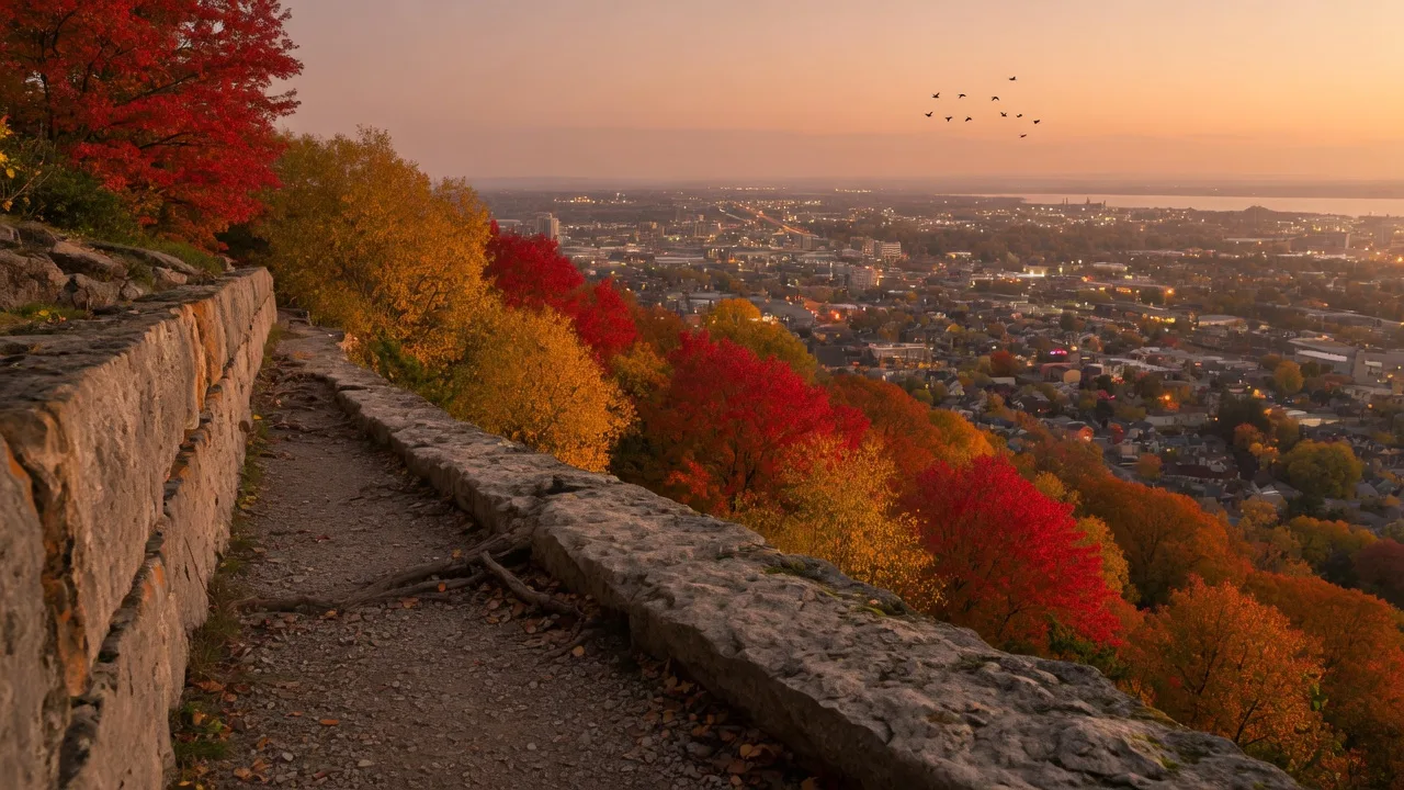
The past hangs around the Mountain in good ways. The generous lots that mid-century planners carved out, the stone walls that follow old farm lines, the brow trail with its city views, and the street names that read like a local history book all come from those decades. When families from Toronto tour a Mountain home, what they are responding to is a mature, established neighbourhood with escarpment trails at the end of the street, a character that took seventy years of deliberate growth to create. For sellers, that story is an asset worth highlighting in your listing photos and descriptions.
The Bottom Line: History Is Why Buyers Feel at Home
The Mountain is not just part of Hamilton, it is a layered one: a spring, a cut, a toll road, a farm field, a bungalow street, a community. Every street carries a piece of that story, and buyers feel it even when they cannot name it. Understanding where the Mountain came from makes you a better seller, a better neighbour, and a better steward of the place your family calls home.
Frequently Asked Questions
Is Hamilton Mountain actually a mountain?
Not in the alpine sense. It is the tableland of the Niagara Escarpment, and Hamiltonians have called it the Mountain for nearly two centuries. The escarpment rises roughly 75 to 250 feet above the lower city.
Why are there so many bungalows on the Mountain?
Most of the Mountain's central streets were built in the post-war boom of the 1950s through the 1970s, when bungalows and ranch homes on generous lots were the builders' standard product. Newer areas to the south carry larger modern homes.
When did the Mountain grow the fastest?
The post-war decades brought the biggest building boom, as farms were subdivided into planned neighbourhoods. The Lincoln M. Alexander Parkway later tied the Mountain to the rest of the city, and relocation demand from the GTA has kept it growing steadily since.
Sources & References
- • The Hamilton Spectator, "Namesakes: Jolley Cut" (2012)
- • Concession Street BIA, "History of Our Street" (concessionstreet.ca)
- • Historical Hamilton, "The Mountain" (historicalhamilton.com)
- • Hamilton Land of Waterfalls, Sulphur Spring Fountain
- • Sulphur Springs Canada, The Sulphur Spring of Ancaster
Falling for the Mountain's story?
Whether you are selling a 1970s bungalow or dreaming of a move to the brow, Tory Akene knows the neighbourhoods, the history, and the buyers. Book a complimentary planning call and let us write your family's next chapter on the Mountain.
Book a Free Consultation